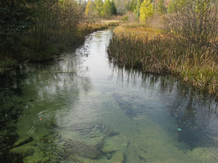
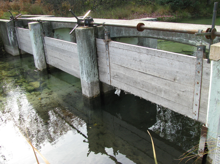
Observations and measurements to ascertain accurate lake water levels are recorded 40 to 50 times each year. Levels are recorded at three different locations: the Portage Creek dam, a lake gauge installed at 8669 West M-72, and a cement seawall at the same location. All measurements and any adjustments at the dam are diligently performed by volunteer Joe Porter, whose time we greatly appreciate. To prevent high water levels on the lake between May and November, the dam boards are periodically adjusted to compensate for heavy precipitation. There are, however, no adjustments that can be made at the dam that will address the problem of “low” water levels during the months of June, July, August or September. Nor can lake water levels be controlled during the months of November through May.
In the fall of 2003, members of our association had noticed that winter lake levels were too high and the lake was not approaching the court-ordered winter level of 1133.7 feet. Since the lake remained too high for several winters, residents who were experiencing significant shoreline damage and erosion, compensated by installing seawalls along the lake’s shore. On behalf of its members, the LMPOA decided to initiate a study of water hydraulics in Portage Creek and that study concluded with the dredging of the first 60 feet of Portage Creek in 2009. Because of the actions taken by your lake association, winter lake levels have returned to a more normal range and shoreline damage and erosion have been significantly reduced or eliminated.
Written by Chuck Spencer
Edited by Joe Porter
To read the original 1973 Court Order determining the Lake Margrethe Lake Levels, feel free to download the document below!
| 1973 Court Ordered Lake Levels.doc |


 RSS Feed
